Free Delivery Over $100
1004 books were found.
An Old Ordnance Survey Map of Stalybridge Town Centre in 1874. It includes an historical introduction by Alice Lock.... Read More >>
Reproduction of 48 maps from Lincolnshire's past sheds new light on the county's history. Read More >>
An Old Ordnance Survey Map of Mirfield (NE) in 1905. It includes an historical introduction by Alan Godfrey. Read More >>
An Old Ordnance Survey Map of Saltcoats in 1909. It includes an historical introduction by Gilbert T Bell. Read More >>
An Old Ordnance Survey Map of SE Somerset in 1899. It includes an historical introduction by Tony Painter. Read More >>
An Old Ordnance Survey Map of Hampton Wick in 1934. It includes an historical introduction by Alan Godfrey. Read More >>
An Old Ordnance Survey Map of Cwmbran in 1917. It includes an historical introduction by Derrick Pratt. Read More >>
An Old Ordnance Survey Map of North Greenford in 1938. It includes an historical introduction by Frances Hounsell.... Read More >>
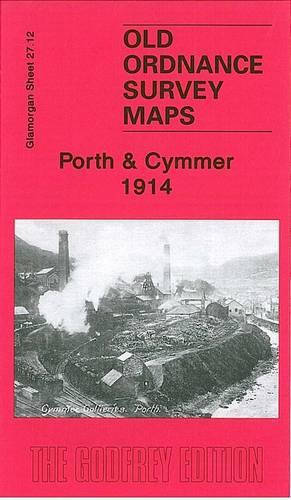
An Old Ordnance Survey Map of Porth & Cymmer in 1914. It includes an historical introduction by Derrick Pratt. Read More >>
Read More >>
Published to coincide with an exhibition at Chicago's Newberry Library, this title charts the historic role maps... Read More >>
An Old Ordnance Survey Map of Ashbourne in 1920. It includes an historical introduction by Barrie Trinder. Read More >>
An Old Ordnance Survey Map of Garstang & District in 1896. It includes an historical introduction by Paul Hindle.... Read More >>
An Old Ordnance Survey Map of Lancaster & District in 1896. It includes an historical introduction by Paul Hindle.... Read More >>
From the earliest evidence of humankind in Palestine to the rise of the Christian Church, this title places the... Read More >>
An Old Ordnance Survey Map of Holy Island and Seahouses in 1898. It is a coloured edition and includes a historical... Read More >>
An Old Ordnance Survey Map of Uttoxeter in 1900. It includes a historical introduction. Read More >>
An old Ordnance Survey Map of Marlborough, Avebury, and The Downs in 1897. It is a coloured edition. It includes... Read More >>
An Old Ordnance Survey Map of Chepstow & District in 1894. Read More >>
One side of this map shows, in detail, the locations of all the German defensive positions (from WN 60 - WN 74)... Read More >>
In French and in English, one side shows the position of the different armies and the progression of the Battle... Read More >>
Features text in French and English. Read More >>
"""William the Conqueror Historical Map"" is available in French and English." Read More >>