Free Delivery Over $100
1912 books were found.
The Rolls-Royce of atlases--widely recognized as one atlas that serious map lovers will want to own and thoughtful... Read More >>
Originally edited by the late William C. Brice and first published by Brill in 1981, this second edition of An... Read More >>
This volume traces the history of the region that became Indonesia from early times to the present day in more than... Read More >>
In this text Barbara Mundy illuminates the complex cultural negotiations that colonists and indigenes undertook... Read More >>
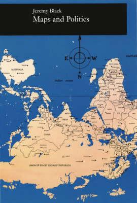
Do maps objectively represent information, or are they coloured by political purposes? This text returns maps to... Read More >>
This pioneering volume traces the history of the region which became Indonesia, from early times to the present... Read More >>
Shows the solid and drift geology together as the 'under-foot' geology. Read More >>
Read More >>
A collection of drawings of smaller maps along with their number of rootings and serves as an introduction to maps... Read More >>
A comprehensive and wide-ranging account of the historical atlas. It explores the role, development and nature of... Read More >>
This book is a comprehensive introduction and detailed analysis of the spatial impact of apartheid in South Africa.... Read More >>
This edition of the atlas presents an introduction and analysis of the spatial impact of apartheid in South Africa.... Read More >>
This is the story of Ireland in maps, now revised and updated. Read More >>
Explains how to use maps to obtain information about a variety of topics. This book includes discussion on mental... Read More >>
This text traces Armenia's past from ancient times to the end of the 20th century through more than 200 colour maps... Read More >>
The Papua New Guinea Secondary School Atlas helps students develop a mental image of their own country and the rest... Read More >>
Using text and more than three hundred maps, charts, and photographs, the book offers a look at the state's physical... Read More >>
Learn to catalog the major formats of cartographic materials, including sheet maps, early and contemporary atlases,... Read More >>
Using colour maps and graphics to illustrate key economic, political and social indicators, it examines how China... Read More >>
Suggested Resources for MAPS to use in conjunction with Asia in Western and World History A Guide for Teaching.... Read More >>