Free Delivery Over $100
1912 books were found.
Based on statistics gathered in the late 1990s, this atlas provides a snapshot of Laos' evolution in the 20 years... Read More >>
Maps and digitized map data provide information for a broad range of applications, from business and Government,... Read More >>
Read More >>
A major new history atlas, uniquely international in approach, incorporating the latest research on Asian, African,... Read More >>
This is the first historical atlas of a major region of the United Kingdom. Its aim is to create and communicate... Read More >>
The collection of globes and armillary spheres (skeleton celestial globes) at the National Maritime Museum, Greenwich,... Read More >>
An informative—and beautiful—exploration of the life and history of a city through its maps. Read More >>
"2000 Catholic Press Association Award Winner! The Collegeville atlas of the Bible offers those with an interest... Read More >>
This book represents cartographically the dramatic impact that the Great Potato Famine had on Ireland. Based largely... Read More >>
The past century has seen the number of sovereign states expand from 56 at the peak of European imperialism to over... Read More >>
The world is constantly changing. Keep your Maps On File(R) collection completely up-to-date by purchasing the 25-40... Read More >>
The definitive guide based on the author's surveys and Cuban Hydrographic office data. The information in this pilot... Read More >>
An assessment of the role of cartography in American journalism. The text traces the use of maps in American news... Read More >>
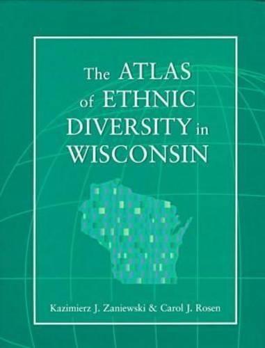
A clear reference to the spatial distribution and socioeconomic characteristics of the state's many ethnic groups.... Read More >>
Two Iranian world-maps were discovered in 1989 and 1995. Both are made of brass and date from 17th-century Iran.... Read More >>
Highlights the peoples and cultures, economy and land, and socio-political landscape of Wisconsin - from Native... Read More >>
Exploring world history through maps, this atlas presents important periods and turning points in 5,000 years of... Read More >>
"Ever since a Native American prepared a paper ""charte"" of the lower Colorado River for the Spaniard Hernando... Read More >>
Featuring dramatic shaded relief, vegetation types and regional landforms, this map also includes major cities and... Read More >>
"Visually demonstrating the thoughts and knowledge of the explorers, ""New Found Lands"" focuses on the maps that... Read More >>
"Comprehensive and lavishly illustrated, this easy-to-use, ""hands-on"" text introduces students to the skills used... Read More >>