|
![]() |
|||
|
||||
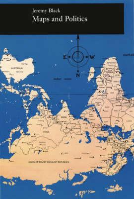
OverviewDo maps accurately and objectively (re)present the information we expect them to portray, or are they instead coloured by the political purposes of their makers? In the lively and well-illustrated ""Maps and Politics"", Jeremy Black argues persuasively that the supposed ""objectivity"" of the map-making and map-using process cannot be divorced from aspects of the politics of representation. Black uses a wide variety of historical and contemporary examples to show that maps have played, and continue to play, a major role in international and domestic politics. For instance, U.S. maps from World War II minimized the distances between the United States and Europe to globalize American attention, while wildly divergent representations of the former Yugoslavia are currently being used by various groups to assert ethnic identities and territorial claims. Jeremy Black's ""Maps and Politics"" provides us with a powerful lens through which we can intelligently view and interpret maps by returning them to the social and political contexts in which they have meaning. Full Product DetailsAuthor: Jeremy Black (Professor of History, University of Exeter)Publisher: The University of Chicago Press Imprint: University of Chicago Press Edition: 2nd ed. ISBN: 9780226054940ISBN 10: 0226054942 Pages: 188 Publication Date: 01 December 2000 Audience: College/higher education , Professional and scholarly , Undergraduate , Postgraduate, Research & Scholarly Format: Paperback Publisher's Status: Active Availability: Available To Order ![]() We have confirmation that this item is in stock with the supplier. It will be ordered in for you and dispatched immediately. Table of ContentsReviewsAuthor InformationJeremy Black is a professor of history at the University of Exeter. He is the author of many books, including Maps and History: Constructing Images of the Past. Tab Content 6Author Website:Countries AvailableAll regions |