Free Delivery Over $100
4500 books were found.
Read More >>
Provides a survey of results in the field of compression of remote sensed 3D data, with a particular interest in... Read More >>
Satellite remote sensing for Earth science data has been rapidly expanding during the last decade. Volume 1 of this... Read More >>
The book consists of 3 chapters with 10 contributions written by internationally renowned experts in the correspondent... Read More >>
Remote Sensing image analysis is mostly done using only spectral information on a pixel by pixel basis. Information... Read More >>
This book combines theoretical concepts with experimental results on thermal microwave radiation to increase the... Read More >>
This book provides an overview of the early years of the European Centre for Medium-Range Weather Forecasts and... Read More >>
Includes the contents that are divided into three areas: the need for fast and accurate sensing - what is the threat;... Read More >>
During the first research phase on 'Observation of the Earth System from Space', 6 projects were accomplished covering... Read More >>
The aquatic coastal zone is one of the most challenging targets for environmental remote sensing. Properties such... Read More >>
Remotely-sensed images of the Earth's surface provide a valuable source of information about the geographical distribution... Read More >>
Geodemographic classification is 'big business' in the marketing and service sector industries, and in public policy... Read More >>
Suggests practical approaches for using mapping technology and spatial analysis to help local governments deliver... Read More >>
Constitutes the refereed proceedings of the International Conference on Spatial Information Theory, COSIT 2005,... Read More >>
Geographical information science is now recognised as a multi-disciplinary subject that receives interest from the... Read More >>
Beginning MapServer: Open Source GIS Development is the first book of its kind. You'll learn how to build and extend... Read More >>
A compendium of papers describing the advances in computerized spatial analysis and modeling. Suitable for geographic... Read More >>
As the tools available through commercial GIS software have grown in sophistication, a need has emerged to instruct... Read More >>
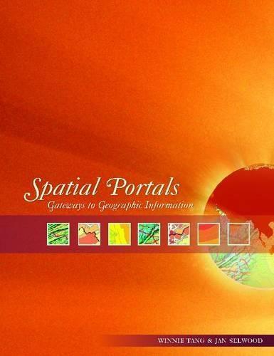
Examines how spatial portals are revolutionizing the way GIS professionals find, share, and apply knowledge - from... Read More >>
With its expanding array of applications in everything from biodiversity modeling to wireless communications, it's... Read More >>