Free Delivery Over $100
4500 books were found.
Offers professionals and students an easy-to-understand treatment of this important technology. This edition includes... Read More >>
This concerns, above all, the adaptation to the fact that the geometry can now be precisely determined by methods... Read More >>
An introduction to the principles of unified georeferencing, which uses placename and geospatial referencing interchangeably... Read More >>
Proceedings of the NATO Advanced Research Workshop on Remote Sensing of the Atmosphere for Environmental Security,... Read More >>
Presents a history of GIS technology that takes readers back to the Harvard Laboratory for Computer Graphics and... Read More >>
"Remote sensing is a technology that engages electromagnetic sensors to measure and monitor changes in the earth... Read More >>
The realization of 'true' 3D geoinformation spatial systems requires a high input, and the developmental process... Read More >>
Deals with the Persistent Scatterer Technique, a development in radar interferometric data processing. Using this... Read More >>
The dissemination of digital spatial databases, coupled with the ever wider use of GISystems, is stimulating increasing... Read More >>
The work is well illustrated throughout with digital maps and models being used to support case studies, as well... Read More >>
Suitable for students and practitioners who want to learn about how they might apply GIS to urban planning, public... Read More >>
Geographic information systems (GIS) is a central repository of geographic data collected from various sources,... Read More >>
Many important GPS applications such as the positioning of wireless devices, tracking during ionospheric scintillation,... Read More >>
Read More >>
Since the first symposium in 1984 the International Symposia on Spatial Data Handling (SDH) has become a major resource... Read More >>
Research into microwave radiation from the Earth’s surface in the presence of vegetation canopies, as well as the... Read More >>
From environmental management to land planning and geo-marketing, the number of application domains that may greatly... Read More >>
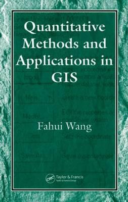
Integrates GIS, spatial analysis, and quantitative methods to address various issues in socioeconomic studies and... Read More >>
Identifies unifying concepts in the field of geographic information systems (GIS), providing a comprehensive treatment... Read More >>
NASA is composed of a vast and varied network of scientists across the academic spectrum involved in research and... Read More >>