Free Delivery Over $100
4484 books were found.
This pragmatic book introduces key concepts and skills to prepare students to understand and use geographic information... Read More >>
Read More >>
When she came to honor Inanna – the goddess of sexual love, fertility, and warfare, daughter of Nanna and often... Read More >>
Precipitation is also a fundamental component of the weather/climate system for it regulates the global energy and... Read More >>
Initiatives, such as INSPIRE and the US DHS Geospatial Data Model, are working to develop a rich set of standards... Read More >>
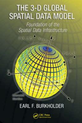
Traditional methods for handling spatial data are encumbered by the assumption of separate origins for horizontal... Read More >>
Geoinformatics has truly emerged as a state-of-the-art technology and decision tool in the areas of facility-utility... Read More >>
Remote Sensing & GIS is specifically designed to serve as a textbook for undergraduate students of geoinformatics/geomatics... Read More >>
Today, satellite imagery analysis is an integral part of the International Atomic Energy Agency’s (IAEA) safeguards... Read More >>
This is the only book to provide a comprehensive coverage of GIS applications in the business and organizational... Read More >>
Squatter developments are without infrastructure, dense with dwellings without ownership, and built from materials... Read More >>
Discusses research on the use of computer simulation of crime patterns to reveal hidden processes of urban crimes.... Read More >>
Written at a practical level, suited to the business audience, this exceptional book explores the business environment... Read More >>
Disaster management is generally understood to consist of four phases: mitigation, preparedness, response and recovery.... Read More >>
11 3 Map design for the Internet Bernhard Jenny, Helen Jenny, Stefan Räber . 31 4 Web Cartography and the Dissemination... Read More >>
The Encyclopedia of GIS provides a comprehensive and authoritative guide, contributed by experts and peer-reviewed... Read More >>
A graphics-intensive presentation of published maps, providing more than 70 cartographic examples that GIS users... Read More >>
The global spatial data model (GSDM) preserves the integrity of three-dimensional spatial data. Combining horizontal... Read More >>