Free Delivery Over $100
4553 books were found.
With contributions from international experts, this book presents cutting edge Spatial Data Infrastructure (SDI)... Read More >>
Read More >>
With GIS technologies ranging from Google Maps and Google Earth to the use of smart phones and in-car navigation... Read More >>
The International Symposium on Spatial Data Handling is the premier research forum for Geographic Information Science.... Read More >>
The book comprises innovative research presented at the 14th Conference of the Association of Geographic Information... Read More >>
Remote Sensing of the Changing Oceans is a comprehensive account of the basic concepts, theories, methods and applications... Read More >>
This book focuses on a range of geospatial applications for environmental health research, including environmental... Read More >>
The experience developed by Ian McHarg represents the first attempt to base environmental planning on more objective... Read More >>
This book provides a summary of current research in the application of image registration to satellite imagery.... Read More >>
Provides students in a first or second GIS course with a foundation in both GIS concepts and the use of GIS. This... Read More >>
A much needed retrospective and prospective look at how GIS technology influences and is influenced by today′s post-industrial... Read More >>
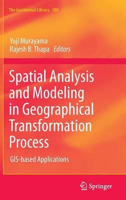
Currently, spatial analysis is becoming more important than ever because enormous volumes of spatial data are available... Read More >>
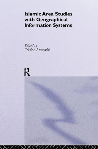
In this volume the contributors use Geographical Information Systems to reassess both historic and contemporary... Read More >>
The papers cover a wide range of topics including geographic information retrieval on the web, geo-spatial semantic... Read More >>
Featuring contributors from 17 countries, this book presents the advances in environmental remote sensing. It provides... Read More >>
During the last decade developments in 3D Geoinformation have made substantial progress. To meet the challenges... Read More >>
The final section of the book is concerned with the exploitation of data, with chapters on observational aspects,... Read More >>
Arc Hydro Groundwater: GIS for Hydrogeology describes the groundwater data model, a new geodatabase design for... Read More >>
Describing and evaluating the basic principles and methods of subsurface sensing and imaging, Introduction to Subsurface... Read More >>
Urban Remote Sensing is designed for upper level undergraduates, graduates, researchers and practitioners, and will... Read More >>
Soil moisture plays an important role in the runoff process, and its evaluation can be used as a marker of flood... Read More >>