Free Delivery Over $100
4553 books were found.
This book maximizes reader insights into the field of mathematical models and methods for the processing of two-dimensional... Read More >>
This volume details the latest remote sensing techniques for flood monitoring and mapping, including use of optical... Read More >>
This book provides contributions from leading experts on the integration of novel sensing technologies to yield... Read More >>
GlobalSoilMap: Digital Soil Mapping from Country to Globe contains contributions that were presented at the 2nd... Read More >>
This book assembles and organizes a selected range of methods and techniques that every planning practitioner should... Read More >>
This book series is composed of peer-reviewed proceedings of selected symposia organized by the International Association... Read More >>
In diesem Manuskript sollen einige theoretische Hintergründe und Zusammenhänge der Geoinformatik zusammengestellt... Read More >>
Read More >>
This book provides pointers on how to harness these technologies in tandem and in the context of multiple different... Read More >>
Although GIS provides powerful functionality for spatial analysis, data overlay and storage, these spatially oriented... Read More >>
The book will provide an overview of the practical application of remote sensing for the purposes of nature conservation... Read More >>
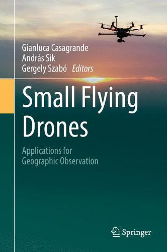
This book focuses on small flying drones and their applications in conducting geographic surveys. Scholars and professionals... Read More >>
New Lines Read More >>
Quantifying the social and economic value that geospatial information contributes to modern society is a complex... Read More >>
This book addresses space science and communication – one of the main pillars of space science sustainability, an... Read More >>
This book focuses on drought, flood, frost, landslides, and storms/cyclones and will cover different applications... Read More >>
Evolution of open-source web GIS technology in integration with contemporary commercial solutions not only provides... Read More >>
An introductory text for learning ArcGIS Pro, the premier professional desktop GIS application. In-depth exercises... Read More >>
Advances in Mapping from Remote Sensor Imagery: Techniques and Applications reviews some of the latest developments... Read More >>
Due to the rapid increase in the number of mobile device users worldwide, location-based services (LBSs) have become... Read More >>