Free Delivery Over $100
4553 books were found.
The book is a visual essay resulting from a study of applications by LIDAR. The applications illustrated here... Read More >>
Particularly focusing on the geomechanical aspects of the production of hydrocarbons, including the laborious extraction... Read More >>
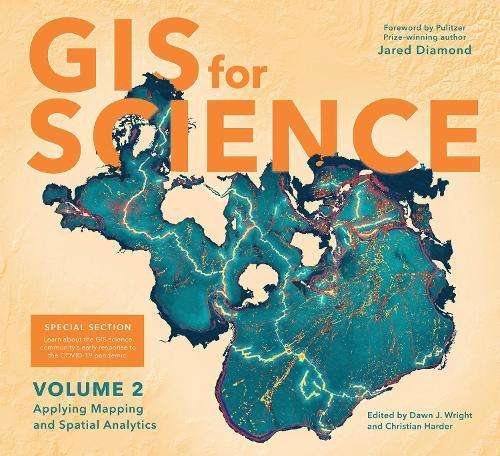
GIS for Science, Volume 2: Applying Mapping and Spatial Analyticsshows readers how scientists working on the world's... Read More >>
This heavily illustrated book contains descriptions and geologic interpretations of photographs (mostly aerial)... Read More >>
This book chronicles the decades-long work of studying, analyzing, and reversing the environmental pressures that... Read More >>
Read More >>
Remote Sensing is designed to meet the requirements of undergraduate courses in civil engineering, geoinformatics/geomatics... Read More >>
Space Coloring & Activity Book for Kids Detail: Coloring, Dot to Dot, Drawing, Patterns, Word Scramble, Matching,... Read More >>
Now in its second edition, Geographic Information Systems (GIS) for Disaster Management has been completely updated... Read More >>
Presents research on advances within the field of GIS and evolutionary solutions for spatial optimization issues.... Read More >>
This book proceedings collects a number of papers presented at the International Conference on Sensing and Imaging,... Read More >>
This volume describes the construction of the territorial identity of the southern end of South America and analyzes... Read More >>
Do you need a guide to walk you through the latest iphone 12 pro max? If yes is your answer, look no furtherIn this... Read More >>
This book focuses on gyro-free inertial navigation technology, which is used to measure not only linear motion parameters... Read More >>
This book provides an introduction to the use of unmanned aerial vehicles (UAVs) for the geographic observation... Read More >>
This document describes the methodology used to produce data through the portal on Water Productivity through Open... Read More >>
The goal of How to Make Maps is to equip readers with the foundational knowledge of concepts they need to conceive,... Read More >>
This book provides applications of wireless sensor networks (WSN) in environmental monitoring, with an emphasis... Read More >>
Selbstkonsistente Darstellung von Schlussel- und Transfermethodologien vom Realitatsraum geodatischer Messungen... Read More >>
This volume provides international case studies of practical and advanced methods using satellite images integrated... Read More >>
This volume explores the ways in which GIS can be used to study the past, considering questions such as what types... Read More >>