Overview
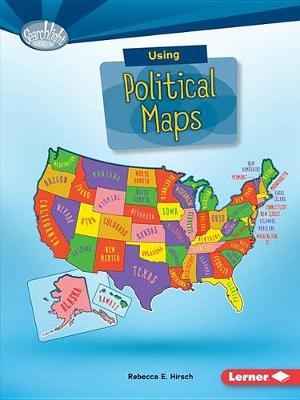
Political maps show state and national boundaries. They include major cities and places created by people. But how do you use political maps? And what map features help you answer geographical questions? Read on to become a map genius!
Full Product Details
Author: Rebecca E. Hirsch
Publisher: Lerner Publishing Group
Imprint: Lerner Publishing Group
Dimensions:
Width: 13.30cm
, Height: 0.30cm
, Length: 19.40cm
Weight: 0.113kg
ISBN: 9781512412949
ISBN 10: 1512412945
Pages: 40
Publication Date: 01 August 2016
Recommended Age: From 8 to 10 years
Audience:
Children/juvenile
,
Primary & secondary/elementary & high school
,
Children / Juvenile
,
Educational: Primary & Secondary
Format: Paperback
Publisher's Status: Active
Availability: Available To Order

We have confirmation that this item is in stock with the supplier. It will be ordered in for you and dispatched immediately.
Reviews
"""A recommended series to help students appreciate the language and importance of maps.""—School Library Journal, Series Made Simple"
These volumes introduce readers to the wonder and value of maps. Their strongest elements are the well-chosen examples of different types of maps found in each. Each book defines a map type; summarizes its developmental history; discusses basic cartographic terms, such as scale, legend, and compass roses; and explains how it depicts important data with real-world applications. Chapters combine clear prose and examples on almost every page to describe and illustrate cartographic and informational concepts. A concluding 'Are You a Whiz at...?' activity requires readers to use maps to complete several steps in order to plan a trip or adventure. Appealing photos of people and places are a plus. VERDICT: A recommended series to help students appreciate the language and importance of maps. --School Library Journal, Series Made Simple -- (11/1/2016 12:00:00 AM)
These volumes introduce readers to the wonder and value of maps. Their strongest elements are the well-chosen examples of different types of maps found in each. Each book defines a map type; summarizes its developmental history; discusses basic cartographic terms, such as scale, legend, and compass roses; and explains how it depicts important data with real-world applications. Chapters combine clear prose and examples on almost every page to describe and illustrate cartographic and informational concepts. A concluding 'Are You a Whiz at...?' activity requires readers to use maps to complete several steps in order to plan a trip or adventure. Appealing photos of people and places are a plus. VERDICT: A recommended series to help students appreciate the language and importance of maps. --School Library Journal, Series Made Simple --Journal
These volumes introduce readers to the wonder and value of maps. Their strongest elements are the well-chosen examples of different types of maps found in each. Each book defines a map type; summarizes its developmental history; discusses basic cartographic terms, such as scale, legend, and compass roses; and explains how it depicts important data with real-world applications. Chapters combine clear prose and examples on almost every page to describe and illustrate cartographic and informational concepts. A concluding 'Are You a Whiz at...?' activity requires readers to use maps to complete several steps in order to plan a trip or adventure. Appealing photos of people and places are a plus. VERDICT: A recommended series to help students appreciate the language and importance of maps.--School Library Journal, Series Made Simple -- Journal
Author Information
Rebecca E. Hirsch is an award- winning children's author with a PhD in plant biology. Her picture books include Plants Can't Sit Still and Night Creatures: Animals That Swoop, Crawl, and Creep while You Sleep. She lives with her husband and three children in State College, Pennsylvania. You can visit her online at rebeccahirsch.com.


