Overview
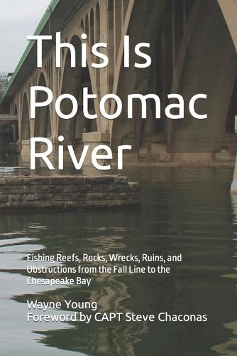
Potomac River hosts a diverse range of natural features from a drowned ancient river gorge at the Fall Line above the Chain Bridge through its brackish freshwater to saltwater transition to tributary estuary where it meets Chesapeake Bay. Public works and waterfront development produced bridges, seawalls, piers, and breakwaters. A rich history of maritime commerce from Colonial times left a huge legacy of subsurface ruins, wrecks, and ballast piles. These river features provide aquatic and marine structural habitat for baitfish and foraging spots for largemouth bass, walleye, catfish, snakeheads, striped bass and other gamefish. Progressively building knowledge, skills, and abilities through hands-on experience under varying conditions is necessary to learn how, when, and where to fish this structure through the range of constantly changing conditions and seasonal patterns. Yet one could spend years fishing and only uncover but a fraction of the river's secrets, especially for those who don't know what to look for or where to start looking beyond what is visible at the surface. The Author presents results of online armchair scouting and shares personal knowledge to jumpstart reader acquisition of local knowledge about hundreds of subsurface features that would otherwise take years to develop. He discusses not only where to find natural formations, rocks, ruins, wrecks, obstructions, and artificial reefs, but also details and illustrates what is actually there and provides maps and coordinates. He picks up and expands the Potomac storyline from other titles in his Chesapeake Bay Fishing Reefs series by tracing the development of now abandoned structure from Colonial times to understand and characterize what is out there to fish. Content is designed for new recreational fishermen beginning their acquisition of local knowledge about where to fish, occasional fishermen seeking to optimize available fishing time and expand their structure playbook, and veteran fishers expanding to other river sections. Coverage starts with the waters above Fletcher's Boathouse and then down to the river mouth between Point Lookout and Smith Point as well as Maryland and Virginia tributaries. Covered waters include Occoquan River and Bay, Mattawoman Creek, Mallows Bay, Widewater, Aquia Creek entrance, Potomac Creek, Nanjemoy Creek, Port Tobacco River, Upper Machodoc Creek entrance, Wicomico River, St. Marys River, Nomini Bay, and Northern Neck rivers. Boating and fishing safety practices are also featured. Whether new to fishing or a veteran, fishers will find clusters of hotspots to prospect along the entire river below the Fall Line.
Full Product Details
Author: Chad Koenig ,
David Howe ,
Steve Chaconas
Publisher: Independently Published
Imprint: Independently Published
Dimensions:
Width: 15.20cm
, Height: 1.90cm
, Length: 22.90cm
Weight: 0.476kg
ISBN: 9798864363898
Pages: 356
Publication Date: 08 November 2023
Audience:
General/trade
,
General
Format: Paperback
Publisher's Status: Active
Availability: Available To Order

We have confirmation that this item is in stock with the supplier. It will be ordered in for you and dispatched immediately.


