Overview
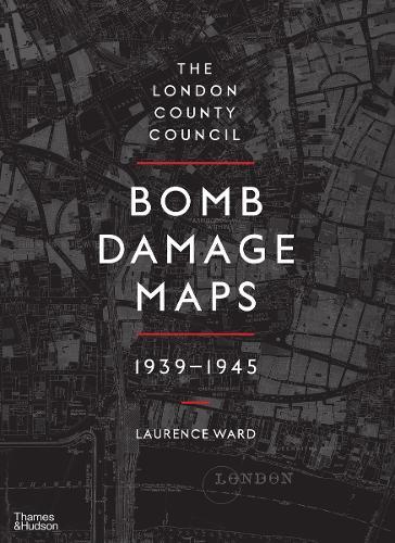
Between 1939 and 1945, London and its environs experienced destruction on a huge scale, with air raids and rocket attacks reducing buildings and entire streets to rubble. The London County Council Bomb Damage Maps speak of the human experience of war - of loss and camaraderie, of tragedy and heroism - conjuring up the days of blackout and the 'Spirit of the Blitz'. They tell a story, moreover, that was echoed in towns and cities across Britain and throughout the world. The maps, meticulously hand-coloured to document the level of damage being wrought, represent a key record of the destruction, the impact of which can still be seen in the capital's urban and social landscapes. Featuring new, high-quality images of each of the 110 maps that make up the set, complete with archival tables of often grim statistics, this book marks the first time these remarkable documents - part historical artifacts, part social history - have been published for a general audience. The book also includes a series of extraordinary photographs of the damage done to the City of London in particular, taken with a sympathetic yet unflinching eye by police constables Arthur Cross and Fred Tibbs.
Full Product Details
Author: Laurence Ward ,
Laurence Ward
Publisher: Thames & Hudson Ltd
Imprint: Thames & Hudson Ltd
Dimensions:
Width: 26.50cm
, Height: 3.10cm
, Length: 36.50cm
Weight: 2.740kg
ISBN: 9780500518250
ISBN 10: 0500518254
Pages: 288
Publication Date: 31 August 2015
Audience:
General/trade
,
General
Format: Hardback
Publisher's Status: Active
Availability: Available To Order

We have confirmation that this item is in stock with the supplier. It will be ordered in for you and dispatched immediately.
Reviews
The scale of the maps (1:2,500) is enough to picture individual buildings, allowing the collection overall to create a fastidious portrait of sustained carnage... documenting destruction and heartbreak that is hard to fathom. This unusual and high-quality contribution to World War II collections will be welcomed in all libraries.
The scale of the maps (1:2,500) is enough to picture individual buildings, allowing the collection overall to create a fastidious portrait of sustained carnage documenting destruction and heartbreak that is hard to fathom. This unusual and high-quality contribution to World War II collections will be welcomed in all libraries.
'Beautifully designed, with all illustrations, be they the maps, old documents or the photographs reproduced to the absolute highest standard ... a pleasure to handle' - Reference Reviews 'A handsome folio ... [the maps'] utility has been hugely enhanced by presentation in this new format, spacious, scholarly and visually compelling' - Times Literary Supplement 'This A-Z of atrocity - which includes 70 stunning photographs of the ruined City - has a terrible beauty' - Evening Standard, Books of the Year 'An amazing visual record of what happened to London in the war ... fascinating' - Timeout 'Though there is no florid prose or gripping anecdotes, these maps are not mute. This A-Z of destruction tells a powerful story' - The Times
Author Information
Laurence Ward is Principal Archivist at the London Metropolitan Archives.


