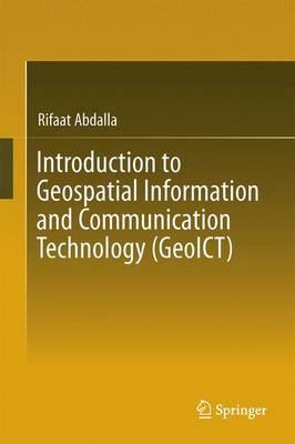
Introduction to Geospatial Information and Communication Technology (GeoICT)

Author:   Rifaat Abdalla
Publisher:   Springer International Publishing AG
Edition:   1st ed. 2016
ISBN:  

9783319336022


Pages:   153
Publication Date:   03 August 2016
Format:   Hardback
Availability:   Manufactured on demand   Availability explained
We will order this item for you from a manufactured on demand supplier.

Our Price $290.37 Quantity:  
Add to Cart

Share |

Introduction to Geospatial Information and Communication Technology (GeoICT)


Add your own review!

Overview

Full Product Details

Author:   Rifaat Abdalla
Publisher:   Springer International Publishing AG
Imprint:   Springer International Publishing AG
Edition:   1st ed. 2016
Dimensions:   Width: 15.50cm , Height: 1.10cm , Length: 23.50cm
Weight:   3.967kg
ISBN:  

9783319336022


ISBN 10:   3319336029
Pages:   153
Publication Date:   03 August 2016
Audience:   College/higher education ,  Postgraduate, Research & Scholarly
Format:   Hardback
Publisher's Status:   Active
Availability:   Manufactured on demand   Availability explained
We will order this item for you from a manufactured on demand supplier.

Table of Contents

Geospatial Information Technology.- Spatial Positioning Technology.- Networking and Web Services.- Distributed GIS Technology.- Mobile GIS and Location Based Services (LBS).- Geospatial Data Integration.- GeoICT Standards. 

Reviews

Author Information

Dr. Rifaat Abdalla is Associate Professor of Geospatial Science with King Abdulaziz University, Jeddah. During the past ten years, he served as Defence Scientist with Defence Research and Development Canada; the Federal Government of Canada research arm in Defense and Security research. In addition he was Adjunct Professor with the graduate program in Disaster and Emergency Management, York University, Toronto, he also served as a contract faculty with the Geomatics Program, Ryerson University, Toronto. Dr. Abdalla received his Ph.D. from the Centre for Research in Earth and Space Science, York University in 2006, specialized in Web-based GIS Applications. He received his Masters in Environmental Systems Engineering, from the University of Regina, focusing on GIS and Remote Sensing Applications. Dr. Abdalla has published extensively in the field of Web-based GIS for Disaster Management and has received many recognitions and awards, including the 2007 ESRI Best Scientific Paper, presented by the American Society for Photogrammetry and Remote Sensing (ASPRS) for papers published in Photogrammetric Engineering and Remote Sensing Journal. Also, he is a recipient of the Natural Science and Engineering Research Council of Canada (NSERC) Ph.D. Scholarship and Post-doctoral Fellowship, Ontario Graduate Scholarship for Science and Technology Scholarship and the Best Paper Award of 2009 Conference on Geo-Web Services, held in Cancun, Mexico.

Tab Content 6

Author Website:  

Customer Reviews

Recent Reviews

No review item found!

Add your own review!

Countries Available

All regions
Latest Reading Guide

MRG2025CC


Shopping Cart
Your cart is empty
Shopping cart
Mailing List