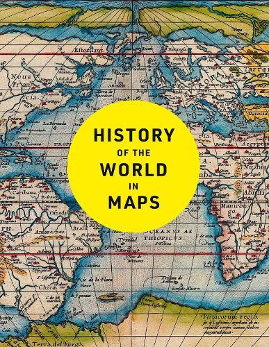
History of the World in Maps: The Ultimate Cartographic Exploration of Our Past

Author:   Philip Parker ,  Collins Books
Publisher:   HarperCollins Publishers
Edition:   3rd Revised edition
ISBN:  

9780008774714


Pages:   256
Publication Date:   09 October 2025
Format:   Hardback
Availability:   Not yet available   Availability explained
This item is yet to be released. You can pre-order this item and we will dispatch it to you upon its release.

Our Price $70.00 Quantity:  
Add to Cart

Share |

History of the World in Maps: The Ultimate Cartographic Exploration of Our Past


Overview

Every map tells a story and this book tells the incredible history of our world through maps. From Babylonian tablets to digital mapping, the world has evolved rapidly, along with the ways in which we understand and depict it. In this time, cartography has not only kept pace with these changes, but has often driven them. In this fully revised and updated edition spanning more than 4,500 years, each individual map provides a unique visual insight into our past. This beautifully designed collection includes many famous examples of cartography, along with some that deserve to be better known. Witness countries and cities come and go, empires rise and fall, significant geographical discoveries, and key historical events unfold. Key maps shown include: Babylonian clay tablets, c.2300 BC and c.600 BC – some of the world’s oldest surviving maps Hereford Mappa Mundi, c. 1290 – medieval map of the world Aztec City Maps 1524/1541 – precious images of the Aztec capital and their migrations before the Spanish came Cook Chart of New Zealand, 1770 – the first complete chart of the coastline showing that New Zealand was made up of two islands Selden Map of China, c. 1620 – Ming map of China and South-east Asia The Scramble for Africa, 1852/1898 – the European powers rush to colonise Africa Booth Poverty Map, 1898 – mapping deprivation in Victorian London Ypres, 1918 – mapping the deaths in one of the First World War’s bloodiest battles Cuban Missile Crisis, 1962 – map used by President John F. Kennedy during the crisis COVID map, 2021 – a map of the Global Pandemic

Full Product Details

Author:   Philip Parker ,  Collins Books
Publisher:   HarperCollins Publishers
Imprint:   Collins
Edition:   3rd Revised edition
Dimensions:   Width: 21.30cm , Height: 1.90cm , Length: 27.60cm
Weight:   1.140kg
ISBN:  

9780008774714


ISBN 10:   0008774714
Pages:   256
Publication Date:   09 October 2025
Audience:   General/trade ,  General
Format:   Hardback
Publisher's Status:   Active
Availability:   Not yet available   Availability explained
This item is yet to be released. You can pre-order this item and we will dispatch it to you upon its release.

Table of Contents

Reviews

“recommend its purchase and will be recommending it to my university library” The Cartographic Journal


Author Information

Philip Parker is a historian and Sunday Times bestselling author with The Northman's Fury, who studied at Cambridge and Johns Hopkins University. He has written widely on the worlds of late antiquity and the early Middle Ages and his unique panoramic history of the nation was published by Collins: History of Britain in Maps. He lives in London.

Tab Content 6

Author Website:  

Countries Available

All regions
Latest Reading Guide

OCT_RG_2025


Shopping Cart
Your cart is empty
Shopping cart
Mailing List