Overview
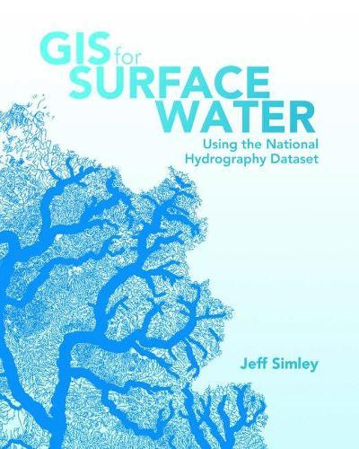
GIS for Surface Water: Using the National Hydrography Datasetenables scientists, managers, and students to understand the complexities of the vital surface waters of the United States. It triggers exploration and analysis by combining the ready-to-use powers of a comprehensive database of the nation's waters and the ArcGISplatform for geographic data analysis and mapping. This book explains how the water that exists on the landscape has been translated into a computer database, and how data about the water, such as chemistry and fish habitat, is linked to this database. Elevation data is also incorporated to produce watersheds at the micro and macro levels. This information, along with climatic data, leads to the creation of water flow and velocity estimates for every segment in the 7.5-million-mile drainage network in the United States. With the development of this complete water information system, the reader is poised to generate new knowledge of the behavior of surface water systems. Application of the ArcGIS suite of geographic and network analysis tools makes the science of surface water come to life. GIS for Surface Water vividly demonstrates how the vast capabilities of ArcGIS can be easily applied to the National Hydrography Dataset and companion Watershed Boundary Dataset to reveal the intricate properties of complex water networks. A variety of GIS operations are made simpler through the use of ArcGIS. You will be able to input the National Hydrography Dataset in your GIS and trace the path of water within minutes. With just a little more effort, you will be able to create enlightening flow-volume maps showing how much water flows through any given river system. By following basic principles outlined in the book, you will discover that these methods also apply to the science of surface-water systems for any nation. User stories by experienced water analysts are also included to help buoy your knowledge of GIS for surface water.
Full Product Details
Author: Jeff Simley
Publisher: ESRI Press
Imprint: ESRI Press
ISBN: 9781589484795
ISBN 10: 1589484797
Pages: 488
Publication Date: 09 August 2018
Audience:
General/trade
,
Professional and scholarly
,
General/trade
,
General
,
Professional & Vocational
Format: Paperback
Publisher's Status: Active
Availability: Available To Order

We have confirmation that this item is in stock with the supplier. It will be ordered in for you and dispatched immediately.
Reviews
.. . highly recommend this book to anyone who wants or needs to use the NHD to study not only hydrography but also hydrology in the United States. -;em>Photogrammetric Engineering & Remote Sensing --Huidae Cho Photogrammetric Engineering & Remote Sensing
... highly recommend this book to anyone who wants or needs to use the NHD to study not only hydrography but also hydrology in the United States. -;em>Photogrammetric Engineering & Remote Sensing --Huidae Cho Photogrammetric Engineering & Remote Sensing Technical books like this are always at risk of losing relevancy after a time, but not this one. Such a storyline can never be trumped, because this book captures the framework and the essence of what digital hydrography is all about. -;em>Impact --Pete A. Steeves, American Water Resources Association Impact
Author Information
Jeff Simley was the Hydrography Program Lead for the US Geological Survey from 2006 to 2015. During this time he headed a nationwide consortium of federal, state, and local agencies to pool hydrography data and resources into building and maintaining the National Hydrography Dataset. Prior to this, Jeff was the Assistant Hydrography Program Lead from 2000 to 2005. During the period from 1989 to 1999 Jeff was Program Manager for digital geospatial data for the Western United States at the US Geological Survey. Jeff started his career at the former Defense Mapping Agency in 1978 where he developed computer graphics for the Digital Landmass System until 1988. He received the Department of the Interior Meritorious Services Award in 1999 and the American Water Resources Association’s David R. Maidment Award for Exemplary Contributions to Water Resource Data in 2012. Jeff was educated in Cartography at the University of Wisconsin, in Computer Science at Washington University, and Geographic Information Systems at the University of Denver. Jeff retired after 37 years of Federal service and resides in Lakewood, Colorado, with his wife, Mary.


