|
![]() |
|||
|
||||
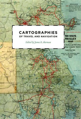
OverviewFinding one’s way with a map is a relatively recent phenomenon. In premodern times, maps were used, if at all, mainly for planning journeys in advance, not for guiding travelers on the road. With the exception of navigational sea charts, the use of maps by travelers only became common in the modern era; indeed, in the last two hundred years, maps have become the most ubiquitous and familiar genre of modern cartography. Examining the historical relationship between travelers, navigation, and maps, Cartographies of Travel and Navigation considers the cartographic response to the new modalities of modern travel brought about by technological and institutional developments in the twentieth century. Highlighting the ways in which the travelers, operators, and planners of modern transportation systems value maps as both navigation tools and as representatives of a radical new mobility, this collection brings the cartography of travel—by road, sea, rail, and air—to the forefront, placing maps at the center of the history of travel and movement. Richly and colorfully illustrated, Cartographies of Travel and Navigation ably fills the void in historical literature on transportation mapping. Full Product DetailsAuthor: James R. AkermanPublisher: The University of Chicago Press Imprint: University of Chicago Press Edition: Annotated edition Dimensions: Width: 1.60cm , Height: 0.30cm , Length: 2.30cm Weight: 0.737kg ISBN: 9780226010748ISBN 10: 0226010740 Pages: 344 Publication Date: 01 August 2006 Audience: Professional and scholarly , Professional & Vocational Format: Hardback Publisher's Status: Active Availability: Out of stock ![]() The supplier is temporarily out of stock of this item. It will be ordered for you on backorder and shipped when it becomes available. Table of ContentsReviewsAuthor InformationJames R. Akerman is director of the Hermon Dunlap Smith Center for the History of Cartography at the Newberry Library, Chicago. Tab Content 6Author Website:Countries AvailableAll regions |