|
![]() |
|||
|
||||
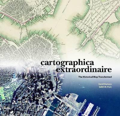
OverviewDavid Rumsey's collection of historical maps is one of the largest and most complete of its kind. Focused for the most part on North and South America in the eighteenth and nineteenth centuries, the collection is comprised of more than 150,000 items: maps, atlases, and contextual supporting documents. Unlike similar collections, the delicacy and rarity of which necessitate careful storage and restricted-use policies, The David Rumsey Map Collection (www davidrumsey.com) is available in growing numbers on the Web - and it is this conjunction of old and new technologies that is the heart of Cartographica Extraordinaire. The maps selected for Cartographica Extraordinaire tell a hundred distinct, exciting, important, and sometimes controversial stories, along two main paths of inquiry: how did a continental wilderness become a civilization, and how has the development of mapping science changed the ways we perceive, describe, study, and use the land? Geographic information systems have come, as part of the digital revolution, to dominate the cartography of today, but GIS didn't come into being out of nowhere; all its processes and capabilities have precursors in historical maps. Old maps can therefore tell us not only the stories of their subject matter, but stories about the history of mapmaking as well: its exigencies and limitations, trends and developments - its theory and practice and what that tells us about the people we were, are, and will be. Full Product DetailsAuthor: David Rumsey , Edith M. PuntPublisher: ESRI Press Imprint: ESRI Press Dimensions: Width: 35.90cm , Height: 2.10cm , Length: 34.10cm Weight: 0.004kg ISBN: 9781589480445ISBN 10: 1589480449 Pages: 164 Publication Date: 01 September 2003 Audience: General/trade , Professional and scholarly , General , Professional & Vocational Format: Hardback Publisher's Status: Out of Print Availability: In Print ![]() Limited stock is available. It will be ordered for you and shipped pending supplier's limited stock. Table of ContentsReviewsAuthor InformationDavid Rumsey is president of Cartography Associates, a digital publishing company based in San Francisco, and a director of Luna Imaging, a provider of enterprise software for online image collections. Rumsey received his B.A. and M.F.A. from Yale University where he was a lecturer in art at the Yale Art School for several years. Edith M. Punt is a graduate of McGill University in Montreal and the College of Geographic Sciences in Nova Scotia. In 1996 she won the National Geographic Society Award in Cartography. Tab Content 6Author Website:Countries AvailableAll regions |