|
![]() |
|||
|
||||
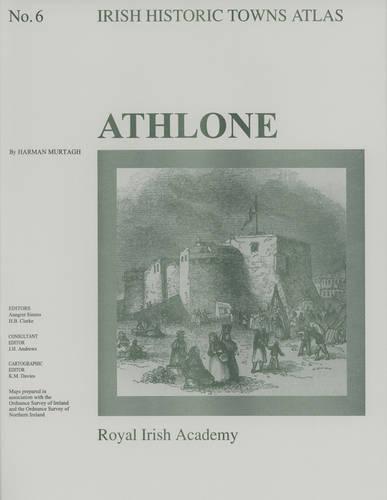
OverviewNumber 6 of the Irish Historic Tows Atlas series, this fascicle illustrates characteristic periods of Athlone's cultural formation and its topographical history. It illuminates points in the development of a strategic town on the River Shannon in County Westmeath. The folder contains a coloured map; eight pages of black and white maps and plates and 16 pages of text where the history of over 700 sites are traced. Series editors: Anngret Simms, H.B. Clarke; Consultant editor: J.H. Andrews; Cartographic editor: K.M. Davies Full Product DetailsAuthor: Harman Murtagh , Anngret Simms , Professor H.B. Clarke, MRIA (Professor Emeritus, University College Dublin) , Professor J.H. Andrews, MRIA (Professor Emeritus, Trinity College Dublin)Publisher: Royal Irish Academy Imprint: Royal Irish Academy Volume: 6 Dimensions: Width: 30.50cm , Height: 0.70cm , Length: 41.00cm Weight: 0.397kg ISBN: 9781874045137ISBN 10: 1874045135 Pages: 25 Publication Date: 07 January 1994 Audience: General/trade , General Format: Sheet map Publisher's Status: Active Availability: In Print ![]() This item will be ordered in for you from one of our suppliers. Upon receipt, we will promptly dispatch it out to you. For in store availability, please contact us. Table of ContentsReviewsAuthor InformationTab Content 6Author Website:Countries AvailableAll regions |