|
![]() |
|||
|
||||
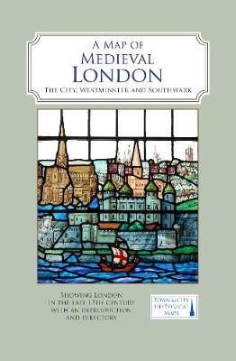
OverviewA full colour map showing London about 1270 to 1300 - its walls and gates, parish churches, early monasteries and hospitals, and a growing number of private houses. The city's streets and alleyways had been established. Dominating London are the Tower of London in the east, the old St Paul's Cathedral in the west and London Bridge in the south. Up-river in Westminster, the abbey and the royal palace had been well established, and the great Westminster Hall is very evident. London's playground in Southwark was beginning to grow. Full Product DetailsAuthor: Caroline Barron , Vanessa HardingPublisher: The Historic Towns Trust Imprint: The Historic Towns Trust ISBN: 9780993469855ISBN 10: 099346985 Pages: 2 Publication Date: 31 October 2019 Audience: General/trade , General Format: Sheet map Publisher's Status: Active Availability: In Print ![]() This item will be ordered in for you from one of our suppliers. Upon receipt, we will promptly dispatch it out to you. For in store availability, please contact us. Table of ContentsReviewsAuthor InformationCaroline Barron is Professor Emerita of the History of London at Royal Holloway, University of London. Vanessa Harding is Professor of London History at Birkbeck, University of London. They have both written extensively on the history of London, its development and its people. Tab Content 6Author Website:Countries AvailableAll regions |