|
![]() |
|||
|
||||
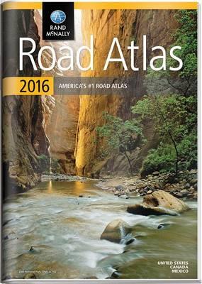
OverviewA durable see-through cover enhances the classic Road Atlas, making it travel-ready with added protection against constant use, spills and exposure to the elements. The Rand McNally Road Atlas is the most trusted and best-selling US atlas on the market. This updated North American atlas contains maps of every U.S. state and Canadian province, an overview map of Mexico, and detailed inset maps of over 350 cities and 20 U.S. national parks. Road construction projects and updates highlighted for every state and conveniently located above the maps. Contains mileage chart showing distances between 90 North American cities and national parks along with a driving times map. Other Features Best of the Road - Our editor's favorite road trips from our Best of the Road collection follows scenic routes along stretches of coastline, both east and west, to forests mountains, and prairies; and through small towns and big cities. For a weekend or a week there's something for everyone. Tell Rand! As much as we work to keep our atlases up to date, conditions change cquickly and new construction projects begin frequently. Use this book with the Rand McNally Road Atlas Ebook. Learn more at randmcnally.com/mobile Tourism websites and phone numbers for every U.S. state and Canadian province on map pages Full Product DetailsAuthor: Rand McNallyPublisher: Rand McNally Imprint: Rand McNally Edition: 2016 ed. Dimensions: Width: 27.40cm , Height: 1.00cm , Length: 38.60cm Weight: 0.703kg ISBN: 9780528013164ISBN 10: 0528013165 Publication Date: 15 April 2015 Audience: General/trade , General Format: Paperback Publisher's Status: Active Availability: Temporarily unavailable ![]() The supplier advises that this item is temporarily unavailable. It will be ordered for you and placed on backorder. Once it does come back in stock, we will ship it out to you. Table of ContentsReviewsAuthor InformationTab Content 6Author Website:Countries AvailableAll regions |